
![]()
The territory can be understood as a humanised space. Therefore, for the management and planning of this space it is critical to prioritise the safety of people and the area occupied by them, the environment. Each of these elements face potential risks related to potential natural and man made disasters, such as the existence of certain activities involving the production, handling, storage or transportation of hazardous substances. The current legislation demands analysing these risks to prevent and mitigate the consequences of possible accidents.
These aspects are included in the preparation of emergency management plans at enterprise, local, regional and national level. During the last decades there has been considerable progress in the integration of risks (natural or technological) in spatial planning. In this sense, the growth of both, population and industries has been translated in the need of making urban planning to reduce damage, improve the response to emergencies and prevent future risks.
Based on these premises we created the department of emergency and public safety providing the following services:
- Development of industry emergency management plans.
- Development of risk specific emergency management plans, such as floods, forest fires, transportation of hazardous substances, weather phenomena, industry safety, etc.
- Analysis of the vulnerability of people, property and the environment
- Risk Analysis (Quantitative Risk Assessment)
- Training in Industrial Safety and Occupational Health and Safety
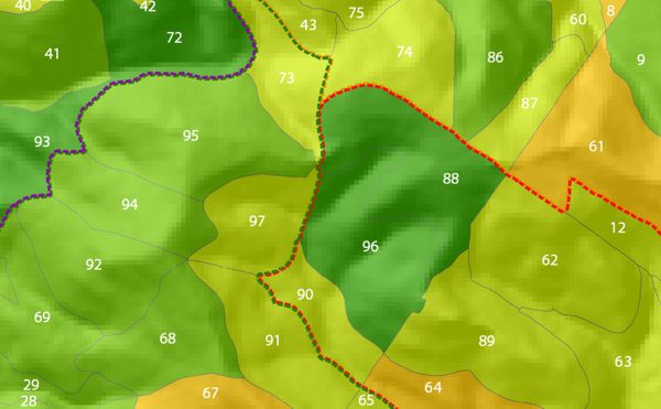
- Geographical and territorial analysis of the areas potentially affected
- Integration of risk analysis in urban planning
LAND MANAGEMENT AND PLANNING
Land use planning is one of the core services we provide since the beginning of the company, with notable expertise in forestry resources planning. Throughout the years we have been able to expand our land management services to several sectors.
In a general way, we integrate geotechnologies in all of our projects (GIS, LiDAR, remote sensing) with the aim of enhancing decision making.
Some of land use planning tools we use, are:
- Forest management
- Planning of the use of natural resources
- Organisation of infrastructures management
- Land use and urban planning
HYDROLOGY
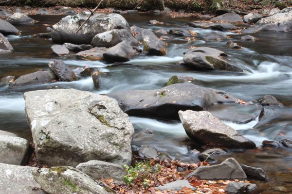
The Tecnosylva’s Hydrology department includes a multidisciplinary team that works in a wide range of river related subjects (hydrology, hydraulics, restorations,…) with a wide experience in the use of hydrological and hydraulic models for the management of the river systems, using the most advanced techniques and methodologies.
The main subject areas covered are:
- Flood risk projects – definition of the hydraulic public domain
- Water resources projects
- Geomorphological analysis and creation of geomorphological cartography
- Restoration of rivers and riverbanks
- Environmental adaptation of rivers and riverbanks
- Environmental assessment of hydraulic infrastructures
ENVIRONMENTAL CONSULTANCY

Throughout the last years, the society has been demanding the conservation and enhancement of natural heritage through criteria of sustainability and rural development. Tecnosylva’s land management engineering department analyses and plans the human activity in the environment, providing solutions for the present that guarantee the future. Throughout the years we have created numerous working lines where we integrate in the new information technologies in the created solutions: GIS, GPS, remote sensing and software developments.
The main subject areas are:
- Forestry and natural resources management
- Rural development
- Inventory of infrastructures and equipment
- Environmental impact studies
- Assessments and expert reports
- Project development and environmental studies